Martin Mydliar, Customer Success Manager, Esri UK
Esri builds the world’s most powerful mapping and spatial analytics software. In the process, this global market leader in geographic information systems harnesses the concept of location, location, location to drive both efficiency and digital transformation for its clients.
The problem of void properties skewing leakage figures might be common knowledge, but the means of tackling it have been less than straightforward. Until now.
For Esri’s ArcGIS Online and Collector App came into its own during the first lockdown when, suddenly, the ultra-time consuming demands of void property surveys were solved at a stroke, thanks to the additional innovation of Severn Trent Water.
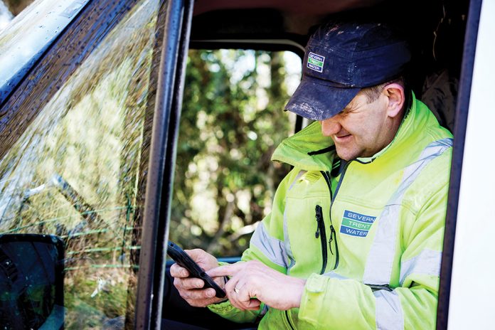
Come the pandemic and the advent of home-working, the water company turned the ArcGIS Online app into a crowdsourcing app for mobile phones and duly set staff a challenge that was as much about maintaining connectivity and morale as tackling the perennial problem of voids.
Martin Mydliar, Esri’s Customer Success Manager for Severn Trent Water, said the ingenuity of the latter had added indeed another dimension to the app.
“We have had an ongoing relationship with Severn Trent since 2007 and they were already using the ArcGIS platform for a variety of business scenarios,” he said. “So when they approached us and told us about this new tool they envisaged at the start of lockdown, we were glad to help.
“We provided access to the necessary licenses through our COVID-19 response programme to enable the rather novel plan they had in mind.”
In one of the many previous programmes Severn Trent had undertaken to achieve leakage reduction targets, staff equipped with paper maps and spreadsheets had checked the occupancy status of properties listed as void near where they lived or worked.
But progress was slow and in the course of three months, only around 1500 properties were surveyed.
However, when the first lockdown forced the majority of employees to begin working from home, the company realised how it could make good use of their time, while – equally importantly – creating a focus that would help maintain team spirit.
So it was that, using their permitted daily level of outdoor exercise, 200 or so members of staff headed out with their mobile phones to do more surveying – a lot more surveying!
Using a quick and easy edit function on ArcGIS app, they recorded whether the properties marked on their digital maps were a) clearly occupied, b) clearly unoccupied or c) the occupancy status was unclear.
With the data being uploaded in real time to an Esri dashboard, managers were able to assess the results quickly and efficiently.
During the following three months, 8255 properties were surveyed – a 550% increase on the previous programme.
It was found that more than a third of the properties listed as empty were in fact occupied.
Severn Trent was thereby able to improve the accuracy of its leakage data, acknowledging usage of water that was otherwise being recorded as ‘lost’.
Richard Powell, Asset Information and Insights Management Lead at Severn Trent Water, said that in challenging business conditions, the company had made the most of its Esri software to deliver an app that had proved tremendously valuable.
“ArcGIS has given us a better understanding of what is genuine leakage and what is not,” he said.
“That enables us to focus our resources in the right places to detect leaks more quickly and to play our part in helping the industry at large to reduce water wastage.”
www.esriuk.com/water


