How satellite data and artificial intelligence are revolutionising water network management
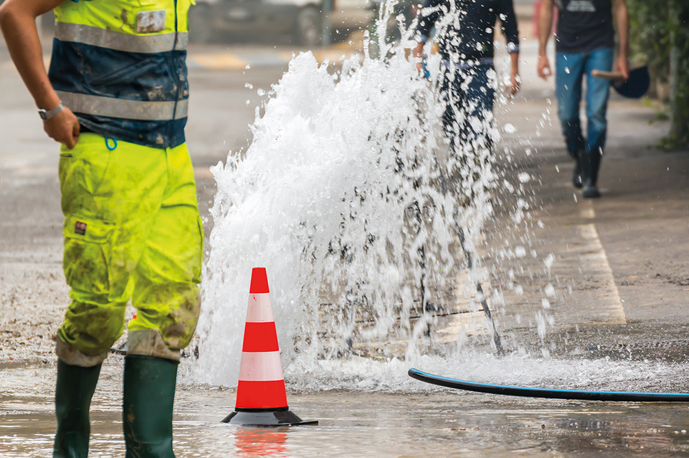
Leaking pipes are both a financial and environmental concern for water network operators worldwide. Global estimates from the International Water Association (IWA) suggest 126 billion m3 of water is lost every year at a cost of £30 billion.
The importance of reducing water losses for customers is evident especially in parts of the world facing water supply challenges. But leaky pipes have a significant impact on both water companies and consumers alike. With high levels of ‘non-revenue water’ (NRW) – defined as the difference between the amount of water put into the distribution system and the amount of water billed to consumers- – water network operators face excessive operational costs, service interruptions, and customer dissatisfaction with costs that are often passed on to customers.
Many operators are turning to innovative new technologies to reduce costs, increase efficiency and improve reliability. One such cutting-edge approach that can assist operators in meeting these challenges head on is Geospatial AI. By combining network and satellite datasets, and analysing historic failure event data, and then applying artificial intelligence techniques, a retrospective risk analysis can be derived. When this is applied to current data an accurate likelihood of failure risk map is produced.
One company leading the way in Geospatial AI is a UK-based company called Rezatec working with water utilities around the world. According to Rezatec, the information Geospatial AI provides has significant real-world impact. Using just two years of historic data to train Geospatial AI algorithms, areas of the network more likely to be at risk from failure can be prioritized for investigation to enable efficient asset management. As a representative example, Rezatec reports that by using a Geospatial AI approach, typically it can highlight the 30% of the network where a water company can expect 70% of leaks to occur. The degree of optimization achieved can be higher and depends upon the quality of the data supplied by the customer.
Though Geospatial AI does not provide information on the precise location of leaks in a water network, it does provide valuable insights for proactive pipeline risk management and strategic investment planning, to optimise the deployment of resources, repair and maintenance, and capital expenditure based on the likelihood of failure at the whole network level or DMA level. It can also maximise the effectiveness of logger deployment, allowing network operators to place them in spots with the highest risk of failure thereby allowing operators to invest in fewer loggers, minimising not just capital expenditure but also operational expenditure.
Analysis can be further improved by incorporating additional Geospatial datasets and Earth-observation satellite data to mitigate high consequence risks and digitise general knowledge and understanding of the network. This information can be used by key stakeholders to help alleviate environmental impact, prioritise pipeline repair and maintenance around other utility works, and assess and manage risk to vulnerable buildings and other infrastructure assets.
“Our goal is to help water utilities become more efficient in managing their networks by identifying the highest risk areas of failure to support planning and investment decisions including inspection services, repair and maintenance, pipe replacement and sensor procurement and deployment”. Philip Briscoe, Chief Operating Officer at Rezatec
At a time of growing demand and rising competition for scarce freshwater resources in many parts of the world, technologies like Geospatial AI can help water utilities become more efficient in their quest to reduce NRW in networks around the globe, with benefits for operators and customers alike.
For more information about Geospatial AI for Water Network Operators, contact info@rezatec.com or visit www.rezatec.com.


